There's something deeply satisfying about the internet doing what it does best: solving mysteries nobody asked it to solve.
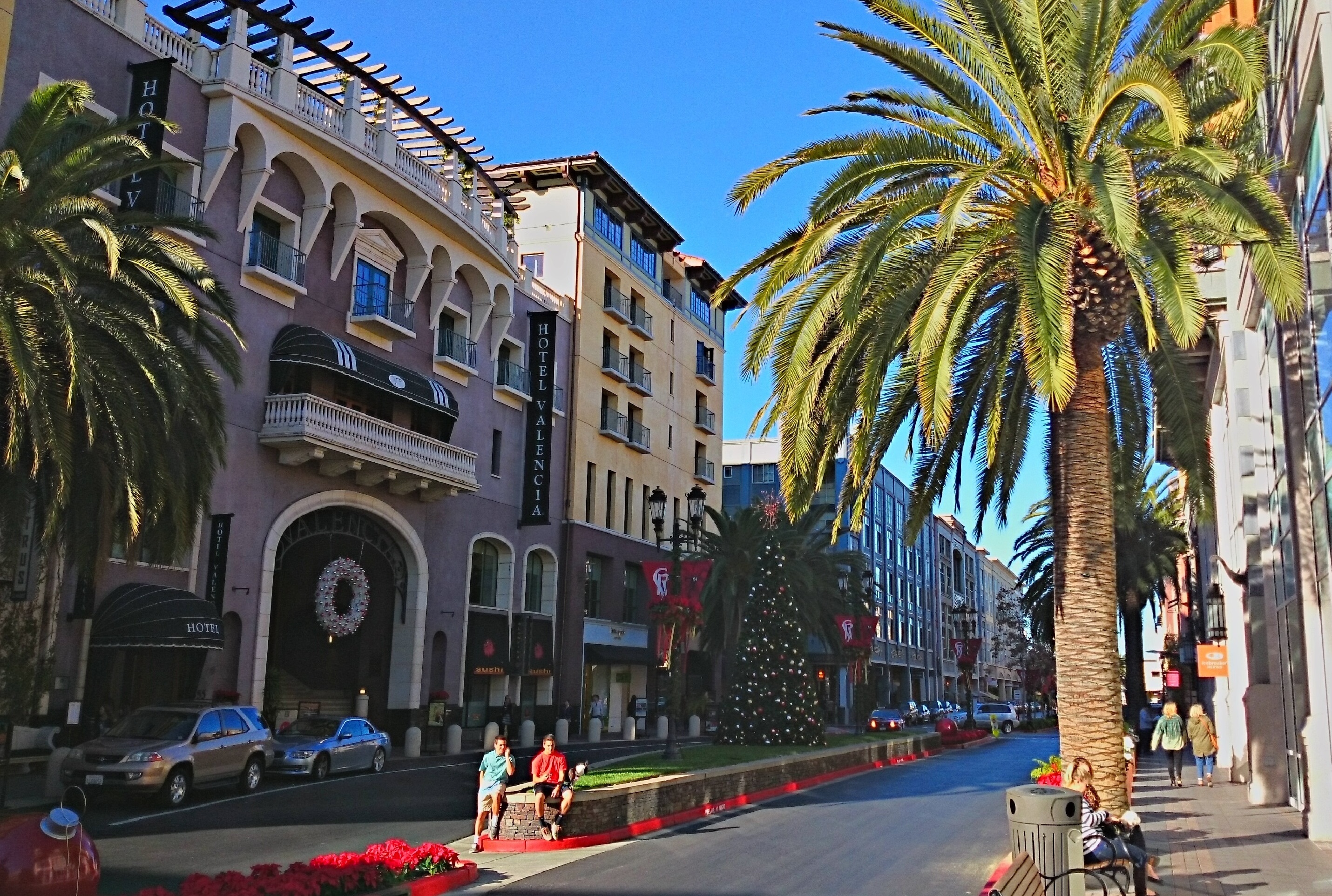
A photo recently surfaced online — no date, no location tag, just a warm-toned snapshot of a Bay Area street that could've been taken anywhere from the late '90s to last Tuesday. The poster guessed the late '90s. The internet had other ideas.
Within hours, amateur detectives had triangulated the location to Alcatraz Avenue near the Berkeley-Oakland border, pinpointed the era to 2006 or later based on a first-generation Ford Fusion visible in the frame (production years 2005-2012, for you car nerds), and noted the Welcome to Oakland sign that narrowed the neighborhood possibilities. One Bay Area resident quipped the photo was "taken in 2026 with a fade, warm tones filter," while another delivered the real gut punch: "Given the location and based on the cars… could've been a week ago?"
And honestly? That's the real story here.
The fact that a Bay Area street scene can look virtually unchanged across two decades tells you everything you need to know about the pace of development and infrastructure investment in this region. We pour billions into bureaucratic agencies, transit studies, and housing commissions, and a random stretch of road is basically indistinguishable from its 2006 self.
Meanwhile, in a separate thread, the same crowd identified a now-shuttered North Beach bar called Portofino — located at 1318 Grant Ave — from nothing more than a photo of fishing lures hanging from a ceiling. (It's now Qua O La, a Croatian wine bar, because this is San Francisco and nothing stays the same except the things that should actually change.)
There's a certain poetry in it: an internet that can forensically date a photograph by its background vehicles but a government that can't fill a pothole inside a fiscal quarter. The sleuths identified a car model, cross-referenced a city limits sign, estimated the decade, and nailed a location — all for free, all in an afternoon.
Maybe we should crowdsource the next city budget.
The Discussion
Loading…