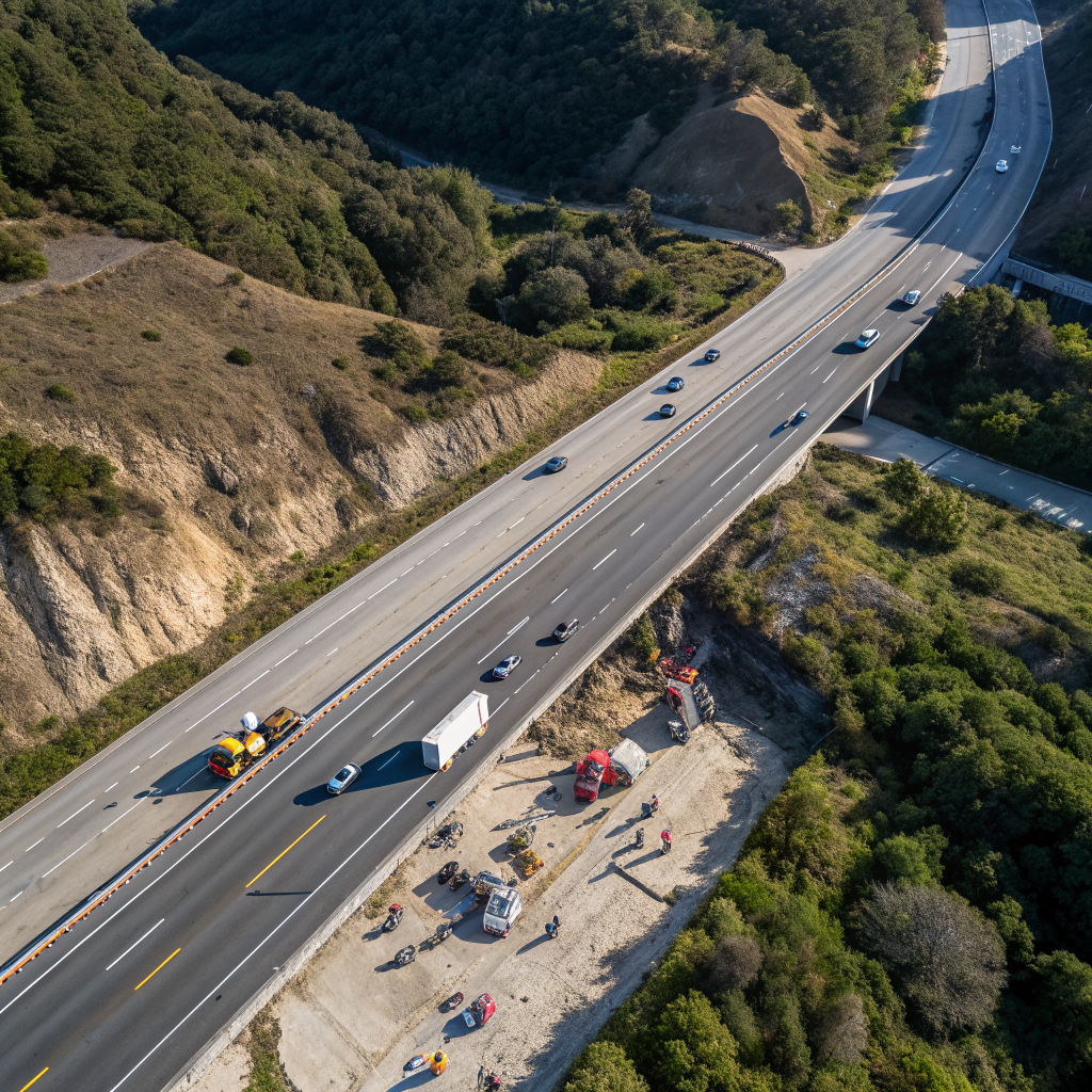
The coast highway reopened below Big Sur at 1 p.m. Saturday, Caltrans said, as the Timber Fire grew to 7,591 acres but reached 29 percent containment and the Monterey County Sheriff redrew the evacuation map around Partington Bridge.
The ten miles of coast highway the Timber Fire had sealed below Big Sur carried traffic again as of 1 p.m. Saturday, Caltrans said — the same run of road we reported shut nine days earlier, when lightning drove crews off their lines and more than 500 structures stood under threat. NBC Bay Area, reporting Victoria Meza's account, first carried the Caltrans announcement that drivers were being waved through beginning that afternoon.
The pavement is open; the fire is larger than when it closed. At the time of the shutdown, the burn covered close to 3,800 acres and crews held 5 percent of its edge. By Saturday it had reached 7,591 acres and 29 percent contained, according to Cal Fire's incident record (external source, opens in a new tab). That is the arithmetic of a fire being walked back rather than knocked down: the acreage kept rising while the share under control rose faster. Between those two dates, Local News Matters put the fire above 5,000 acres and 17 percent contained (external source, opens in a new tab) on Aug. 16, and by midweek KALW noted it was still growing even as containment climbed (external source, opens in a new tab).
Opening a road is not the same as sending people home, and the map around it is still being redrawn. The Monterey County Sheriff's Office eased the evacuation order on zone MRY-F027-B to a warning and carved zone MRY-F028 into four pieces, A through D. The westernmost of those, MRY-F028-A — the ground past Partington Bridge, the span roughly halfway between the Big Sur village and the burn — dropped to a warning as well. But MRY-F028-C stayed under a full order, and MRY-F029 was bumped up to one. Everything else on the sheriff's list holds where it was. A driver can now cross the coast that was closed off last week; some of the residents up the canyons that feed onto it still cannot return.
The fire began the night of Aug. 8 in Los Padres National Forest, southeast of Loma Vista, and is run under a unified command joining a Cal Fire management team, the forest and the sheriff, with roughly 1,900 people assigned to it. No injuries had been reported as of Friday morning.
Caltrans is asking drivers to take the reopened miles slowly, or to swing inland to Highway 101 instead. What anyone driving the coast tomorrow will notice is the plainest thing coming back after an extraordinary week: cars moving along a road that had been a fire line, past hills that are still burning.
The Discussion
Sign in to join the discussion.
Loading…