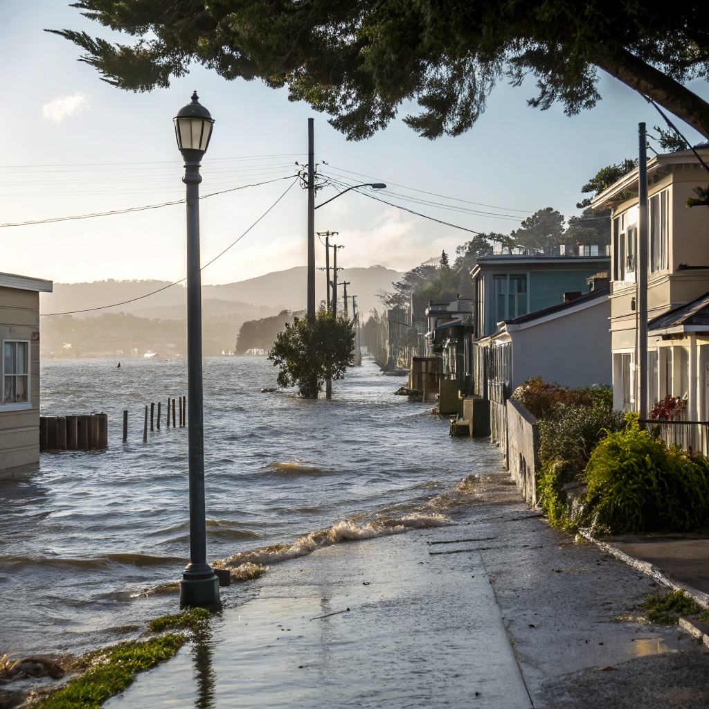
A particularly strong El Niño is expected to form by October, prompting questions about its impact on San Francisco. While rainfall projections for the Bay Area are inconsistent, the more immediate threat to coastal neighborhoods is significant sea level rise and storm surges.
On the 2400 block of Mission, the awning came down Tuesday; the permit to gut the storefront, filed in March, runs to $180,000.
The city is bracing for a "very strong" El Niño event. NOAA puts an 81% probability on the event reaching "very strong" intensity by October–December, with a 97% chance it persists through early spring 2027. This powerful weather pattern brings complex implications for infrastructure and daily life along the Bay Area's varied coastline.
While statewide models from NOAA's North American Multi-Model Ensemble project above-normal precipitation, the Bay Area's historical response to strong El Niños is notably inconsistent. As Matthew Rosencrans, a meteorologist with NOAA’s Climate Prediction Center, observed, "Some signal does work its way up to the Bay Area in the years with the strongest response, but it's more consistent in Southern California." This unpredictability was starkly evident during the historically strong 2015-16 El Niño, which delivered just 23.17 inches of rain to San Francisco – or 99% of normal – far from a predicted deluge. Warmer-than-average temperatures are also expected.
However, the more consistent and immediate concern for San Francisco is coastal flooding. Climate scientist Daniel Swain warns that El Niño is expected to temporarily raise sea levels by 6 inches to 2 feet, with storm surges during king tides potentially adding another 2 to 3 feet. This puts low-lying areas in San Francisco, Pacifica, Sausalito, and San Rafael at significant risk. "All of a sudden, we kind of get to the point where 2 to 3 plus feet of temporary sea elevation is possible near California later this year during a major storm event and at least a foot or two the rest of the time," Swain notes. The San Francisco Department of Emergency Management is actively incorporating this scenario into its preparedness planning, according to reporting by KQED.
Beyond the shoreline, neighborhoods grapple with daily municipal issues. In the Outer Richmond, for instance, 373 311 requests were filed in the last seven days, covering issues such as illegal dumping on the 1700 block of 37th Avenue and an encampment reported on the 800 block of La Playa Street. These existing urban stressors could be exacerbated by severe weather events. Proactively, the San Francisco Public Utilities Commission (SFPUC) is making long-term investments; they've completed $300 million in sewer system improvements and have another $3 billion slated over the next decade, including the $407 million Southeast Outfall project and the $1.7 billion Sewer System Improvement Program, aimed at reducing flood risk. As an SFPUC spokesperson stated, "Our agency continues to make significant investments in our sewer system to increase stormwater capacity, reducing the risk of flooding and sewer overflows during extreme weather events."
As October approaches, the texture of a block like those skirting the Outer Richmond’s coast will be shaped not just by the routine of urban life, but by the looming potential of a significantly higher, more forceful Pacific Ocean.
The Discussion
Sign in to join the discussion.
Loading…